Val Cenis
Northern Alps · France · 1,306 m
Where to stay near Val Cenis
Hotels and apartments close to the slopes, with prices and availability for your dates.
- Within 15 km of the resort
- Real prices for your dates
- Many with free cancellation
Affiliate link: if you book, we earn a commission at no cost to you.
What to do without snow
The resort is closed: here is what you can do in the area today.
- Mountain biking5
- Road cycling1
- Hiking1
- Climbing3
- Caves and caving1
- Viewpoints2
- Peaks8
- Mountain huts2
- Waterfalls1
- Lakes4
- Bathing area3
With snow, beyond the pistes
This is not the resort's official programme: it is what is mapped in OpenStreetMap within 5 km of the resort centre. Check opening times on the resort's own website.
Trail map
Snow seen from space
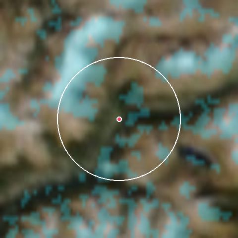
11 %of the ground snow-covered within 7 km · 14 Oct
Last 60 days
% clouds
Source: NASA GIBS, MODIS Terra and Aqua (snow cover) and VIIRS NOAA-20 (true colour). Updated daily with a one-day lag.
Weather by elevation
Val Cenis
1,306 m23°Cfeels 19°
- Wind
- 9 km/h (gust 24)
- Humidity
- 16%
7-day forecast
Val Cenis · 1,306 m
| Day | Weather | Min/Max | Snow | Prob. | Gust |
|---|---|---|---|---|---|
| Thu 15 | Partly cloudy | 11° / 24° | — | 0% | 24 km/h |
| Fri 16 | Overcast | 11° / 21° | — | 0% | 18 km/h |
| Sat 17 | Fog | 9° / 17° | — | 15% | 22 km/h |
| Sun 18 | Light rain | 9° / 11° | — | 54% | 42 km/h |
| Mon 19 | Rain | 8° / 11° | — | 42% | 44 km/h |
| Tue 20 | Light rain | 11° / 12° | — | 37% | 41 km/h |
| Wed 21 | Fog | 10° / 15° | — | 38% | 27 km/h |
Live webcams
- Val Cenis - Teleski De Pont Noir
- Val Cenis - Sommet du Solert
- Val Cenis - La Met
Terrain by difficulty
Terrain by difficulty
0 of 62 open- Beginner0 / 1524%
- Intermediate0 / 2134%
- Advanced0 / 2134%
- Expert0 / 58%
Snowparks: 1
Snow report from OnTheSnow · compiles the report published by each resort
Frequently asked questions about Val Cenis
- What can you do at Val Cenis without snow?
- There are 31 mapped activities around the resort: peaks (8), mountain biking (5), lakes (4). See what to do without snow →
- How often is this information updated?
- The report is read automatically from OnTheSnow every few minutes. The last reading was 5 min ago.
Updated 5 min ago