The Summit at Snoqualmie
Washington · Stany Zjednoczone · 917 m
Gdzie spać w pobliżu The Summit at Snoqualmie
Hotele i apartamenty blisko stoków, z cenami i dostępnością w wybranych terminach.
- Do 15 km od ośrodka
- Prawdziwe ceny na twoje terminy
- Wiele z bezpłatnym odwołaniem
Link partnerski: jeśli zarezerwujesz, otrzymamy prowizję bez dodatkowych kosztów dla ciebie.
Co robić bez śniegu
Ośrodek jest zamknięty: oto, co można dziś robić w okolicy.
- Kolarstwo szosowe1
- Piesze wędrówki10
- Wspinaczka9
- Jaskinie4
- Punkty widokowe1
- Szczyty18
- Schroniska2
- Wodospady5
- Jeziora13
- Jazda konna1
Ze śniegiem, poza trasami
To nie jest oficjalna oferta ośrodka: to, co jest naniesione w OpenStreetMap w promieniu 5 km od centrum ośrodka. Godziny otwarcia sprawdź na stronie ośrodka.
Mapa tras
Śnieg widziany z satelity
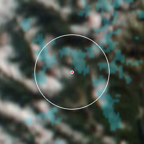
14 %terenu pokrytego śniegiem w promieniu 7 km · 14 paź
Ostatnie 60 dni
% chmury
Źródło: NASA GIBS, MODIS Terra i Aqua (pokrywa śnieżna) oraz VIIRS NOAA-20 (prawdziwe kolory). Aktualizacja codzienna z jednodniowym opóźnieniem.
Pogoda według wysokości
The Summit at Snoqualmie
917 m- Wiatr
- 7 km/h (porywy 35)
- Wilgotność
- 87%
Prognoza na 7 dni
| Dzień | Pogoda | Min./Maks. | Śnieg | Prawd. | Porywy |
|---|---|---|---|---|---|
| czw., 15 | Zachmurzenie całkowite | 7° / 19° | — | 0% | 57 km/h |
| pt., 16 | Zachmurzenie całkowite | 8° / 19° | — | 0% | 50 km/h |
| sob., 17 | Deszcz | 1° / 11° | — | 91% | 62 km/h |
| niedz., 18 | Mgła | 0° / 14° | — | 0% | 37 km/h |
| pon., 19 | Słaby deszcz | 4° / 7° | — | 13% | 32 km/h |
| wt., 20 | Mgła | 3° / 12° | — | 10% | 21 km/h |
| śr., 21 | Przeważnie bezchmurnie | 1° / 15° | — | 7% | 21 km/h |
Kamery na żywo
- Silver Fir - Base AreaVer en directo
- Summit West - Base AreaVer en directo
- The Summit at Snoqualmie WSDOT Pass
- The Summit at Snoqualmie - WSDOT Hyak
Teren według trudności
Teren według trudności
64 tras- Łatwe1016%
- Średnie2539%
- Trudne2945%
Powierzchnia narciarska: 806,9 haSnowparki: 2
Komunikat śniegowy według OnTheSnow · compiles the report published by each resort
Najczęstsze pytania o The Summit at Snoqualmie
- Co można robić w The Summit at Snoqualmie bez śniegu?
- Wokół ośrodka zmapowano 64 aktywności: szczyty (18), jeziora (13), piesze wędrówki (10). Zobacz, co robić bez śniegu →
- Jak często aktualizowane są te informacje?
- Raport jest odczytywany automatycznie z OnTheSnow co kilka minut. Ostatni odczyt: 7 min temu.
Zaktualizowano 7 min temu